Zach Rosenberg
My work sits at the intersection of photography, drones, and technology. I'm passionate about aerial imaging and spatial intelligence, and I create tools to help me learn and better understand the world around me.
All images and videos on this site are my own.
Education

Cornell University
B.S. Information Science
College of Computing & Information Science · Ithaca, NY
3.97
GPA
Relevant Coursework
- Machine Learning
- Data Science
- Networks, Crowds & Markets
- Interactive Information Visualization
- Data-Driven Web Applications
- Web Design & Programming
- Object-Oriented Programming & Data Structures
- Educational Analytics
Experience
- Saved analysts 8 hours monthly; built AI-assisted automation in Cursor for the finance team's reporting pipelines.
- Enabled NL querying over Snowflake, engineered schema and business logic context sets into a Gemini Gem.
- Leveraged excel to forecast revenue for several 2K titles; projections fed into locked guidance released to the public.
Ten thousand fish, one shape
Bait ball from 120m · Mavic 3 Pro
Archive
Photography
Aerial studies of water, wildlife & light
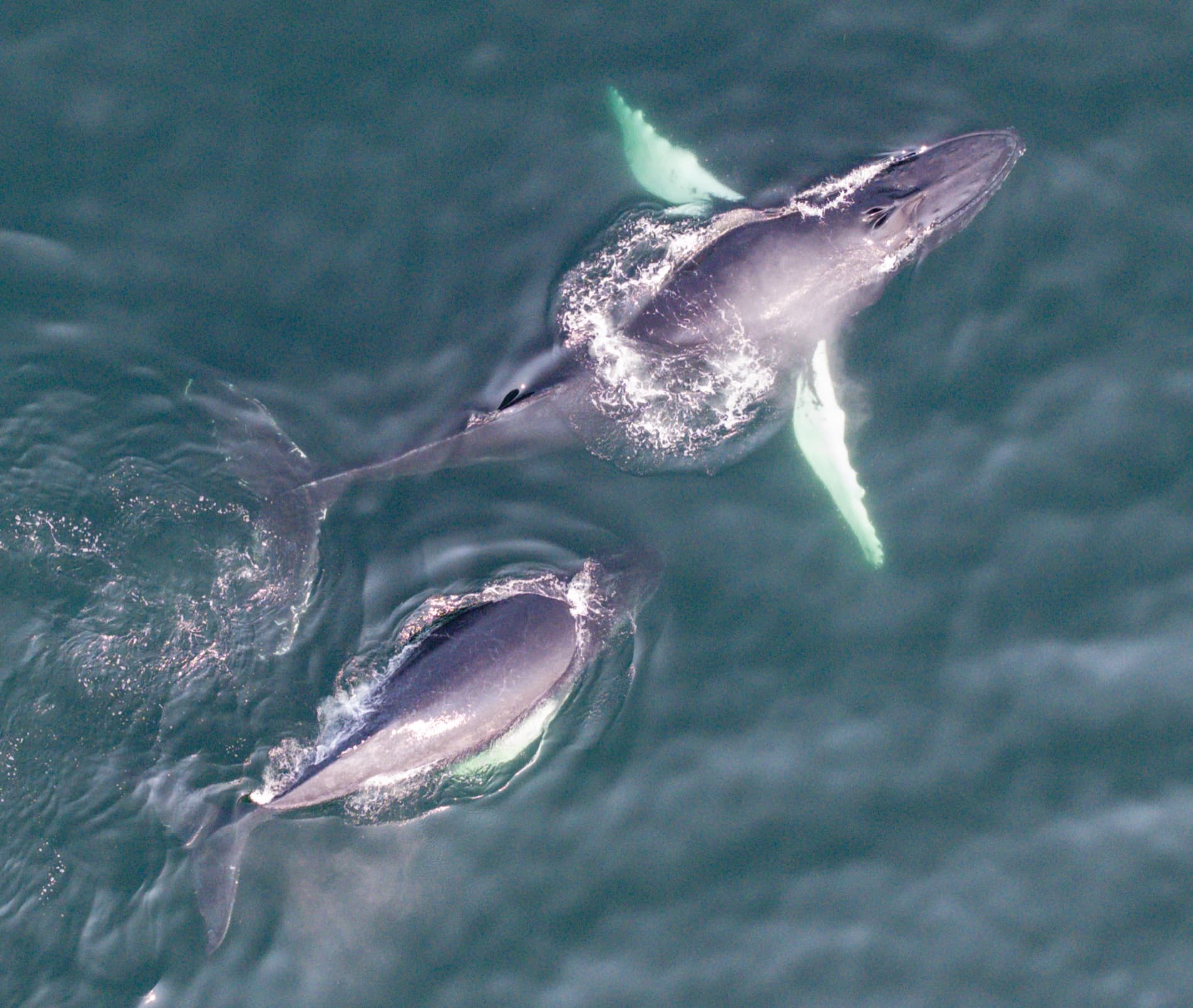
Surfacing pair
Cape Cod Bay · 01
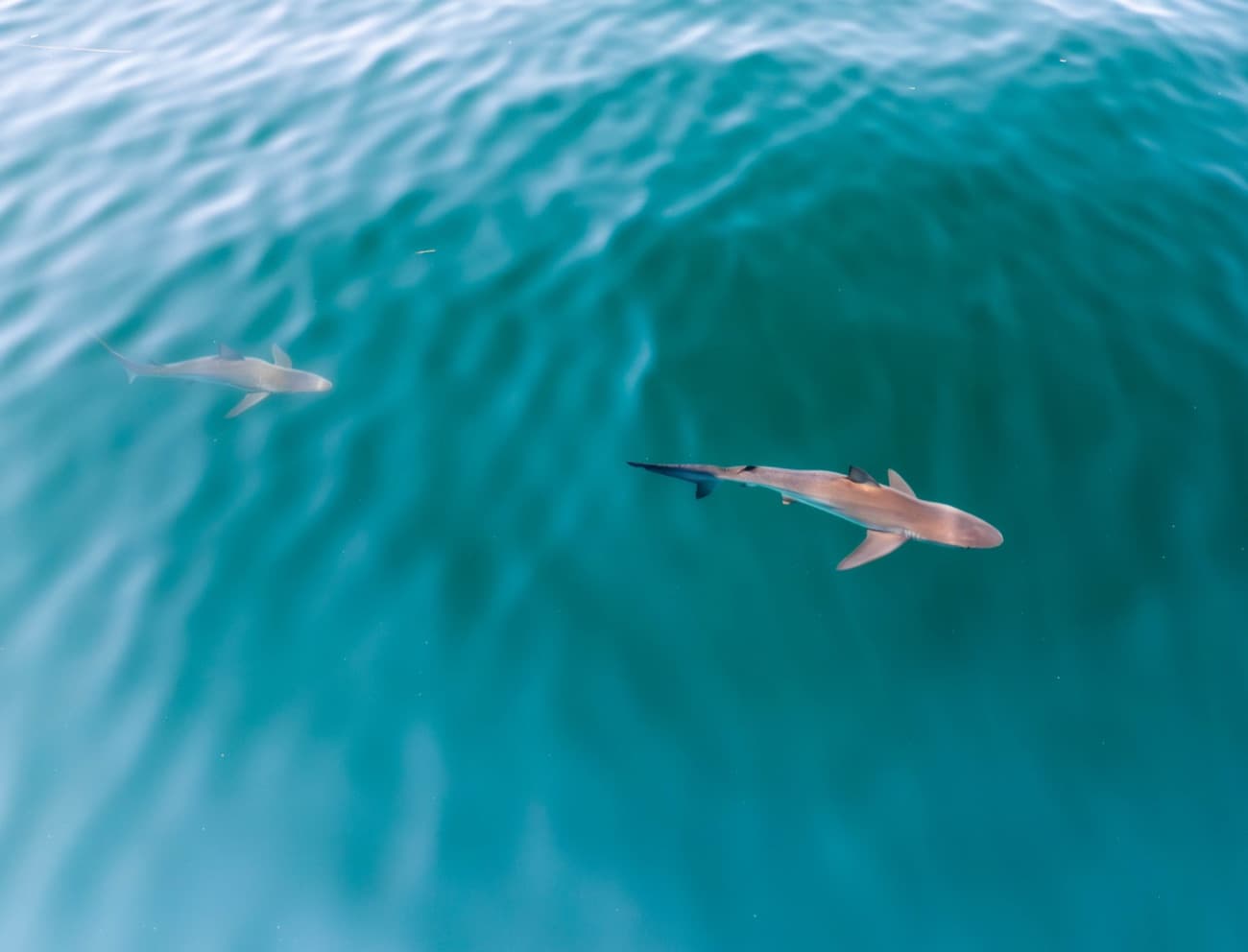
On the hunt
Shallows · 02
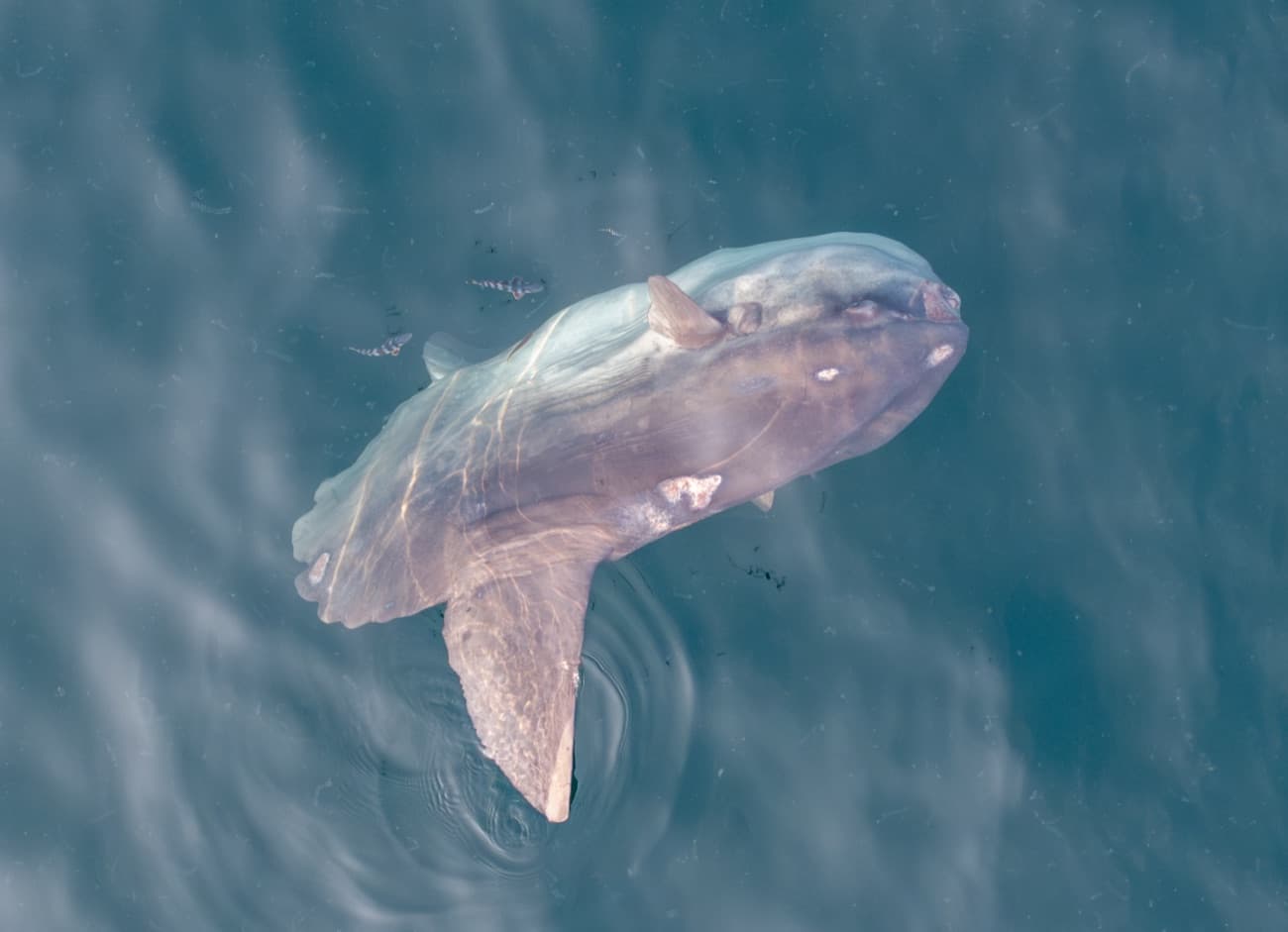
Mola mola
Open water · 03
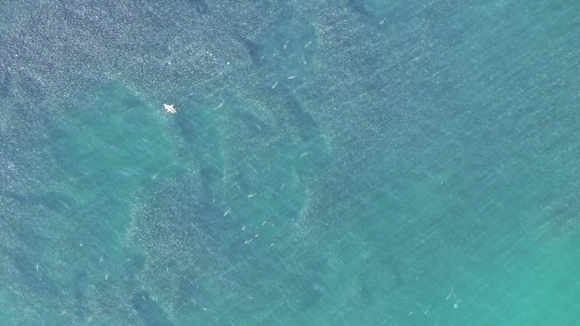
Bait ball geometry
Shimmer study · 04
Get in touch
Let's make something
Always glad to talk aerial imaging, data, or a project that needs a careful eye. The inbox is open.